
The Seabreeze Machine: Why Coastal Afternoons Deliver the Best Sessions
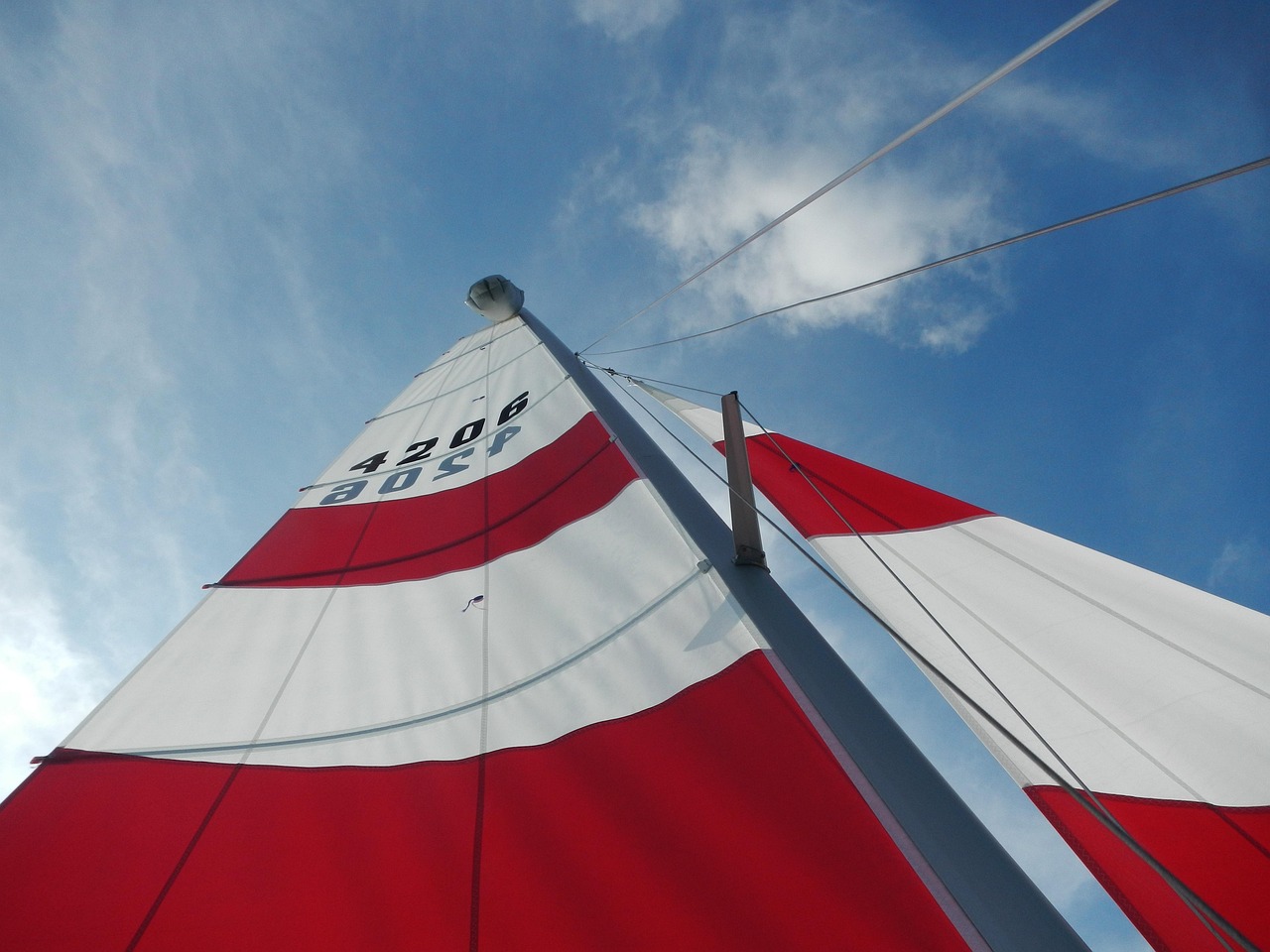
Ask any longtime coastal sailor or kitesurfer what their most reliable wind source is, and most will point to the seabreeze. It is the closest thing to a scheduled appointment that nature offers, and on many coastlines it shows up in the early to mid afternoon with a consistency that makes it the backbone of summer sessions. Understanding how the seabreeze forms, what strengthens it, and what can shut it down will change the way you plan your days on the water.
The mechanism is elegant. Land heats up faster than water under the same sun. As the land warms, the air above it rises, creating a low-pressure area near the surface. Cooler, denser air over the ocean flows in to fill the gap, and that onshore flow is your seabreeze. The stronger the temperature difference between land and sea, the stronger the breeze. This is why the clearest, hottest days often produce the best coastal wind, and why a day of thick cloud or rain over the land can leave you waiting on the beach with nothing but a light ripple.
What Makes a Seabreeze Strong or Weak
Not every seabreeze day is created equal. The intensity depends on a handful of factors you can learn to weigh. The first is the temperature contrast, which means a sunny day with a hot inland area is your best bet. The second is the background or gradient wind. A light offshore wind can actually enhance the seabreeze by increasing the temperature contrast, while a strong onshore gradient can either merge with it and make it huge, or overpower and suppress the thermal circulation entirely. The third is the shape of the coastline. Bays, peninsulas, and headlands can funnel and accelerate the seabreeze, which is why certain spots have a reputation for being consistently windier than their neighbours just a few miles away.
Timing matters just as much. The seabreeze typically builds through the late morning, peaks in the mid to late afternoon, and fades toward evening as the land cools. Some spots have a lag of several hours between peak heating and peak wind because it takes time for the circulation to establish. Learning the specific clock of your local spot, when it switches on and when it dies, is worth more than any generic forecast. Keep a simple log of arrival times and wind strengths for a season, and you will start to see the pattern.
Reading the Signs and Avoiding the Shutdowns
There are visual cues that a seabreeze is about to kick in. Watch for the first ripples appearing offshore while the water near the beach stays glassy, or a line of small cumulus forming along an inland thermal trough. Flags and smoke will start to lean onshore. Birds and other water users often react before the anemometer does. When you see these signs, it is time to rig, because the window can be short and the best wind often arrives before you are ready.
Just as important is recognising when the seabreeze will fail. A thick marine layer that never burns off, a strong opposing gradient wind, or a passing front can all cancel the thermal circulation. Thunderstorm development inland can also disrupt it by changing the pressure pattern. If the sky stays grey and the temperature never climbs, do not count on the seabreeze to save the day. Plan your sessions around the sun and the heat, respect the daily rhythm of the coast, and the seabreeze will reward you with some of the smoothest, most predictable wind you will ever ride.







The daily seabreeze is the most dependable wind engine in coastal sailing, and understanding how it works helps you plan around it.
Unstable wind is part of the game, and these handling strategies help you stay in control when the breeze refuses to settle.
With the right layers and a few smart habits, the shoulder seasons can offer some of the best and least crowded sessions of the year.
A practical guide to building a first quiver that grows with you instead of holding you back.
Early birds and evening chasers get different winds, different crowds, and different rewards—here's how to choose your slot.