



The Art of the Weather Window: Timing Your Session Around Storms
Some of the most memorable sessions happen right before or right after a storm. The wind can be powerful, the water dramatic, and the whole experience feels electric. But storms also bring real danger, and riders who don't understand the risks can find themselves in serious trouble fast. Learning to read the sky and time your session around weather is one of the most important skills you can develop.
The first thing to understand is that not all storms are created equal. A fast-moving cold front is different from an afternoon thunderstorm, which is different from a tropical system. Each one has its own signature, its own timing, and its own level of risk. Knowing which one you're dealing with is the difference between a great session and a dangerous one.
Cold fronts are often the most predictable. They arrive with a wind shift, usually from southwest to northwest in many regions, and they bring a burst of stronger wind as they pass. The pre-frontal wind can be gusty and shifty, while the post-frontal wind is typically more consistent and cooler. Many riders chase the post-frontal window because it offers clean, powered conditions without the chaos of the front itself.
Thunderstorms: The Ones You Don't Mess With
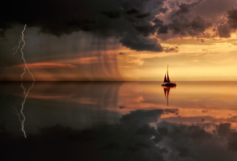
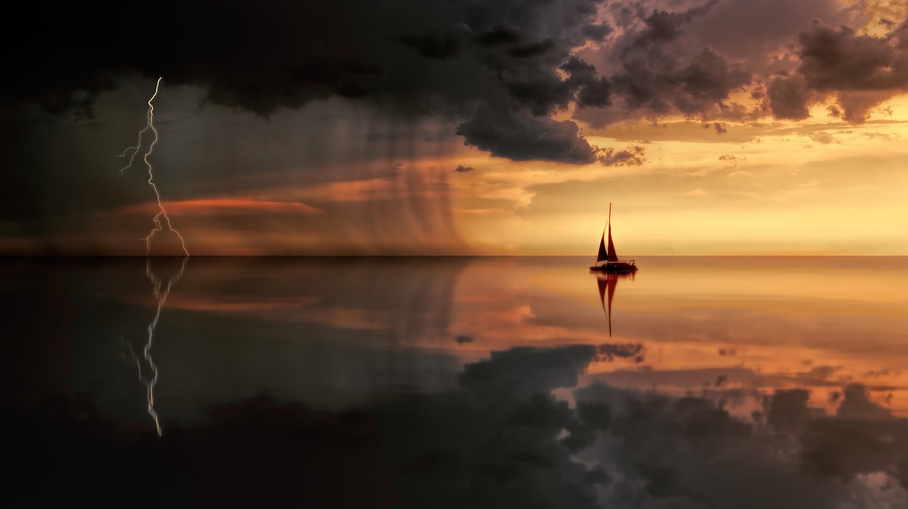
Afternoon thunderstorms are a different beast entirely. They build quickly, they're often localized, and they can produce sudden, violent wind shifts that catch even experienced riders off guard. The classic scenario is a beautiful, windy afternoon that suddenly turns dark and chaotic as a cell moves overhead. If you see a thunderstorm building, the safest move is to get off the water immediately—not when it gets close, but as soon as you notice it forming.
Lightning is the obvious hazard, but the wind is often the bigger threat in the moment. A thunderstorm can produce a gust front that hits with 40 or 50 knots of wind in a matter of seconds, often from a completely different direction than the prevailing breeze. If you're on the water when that hits, you're in trouble regardless of your skill level. There's no technique that saves you from a sudden 50-knot gust on a kite or a sail.
The good news is that thunderstorms are usually visible well before they arrive. Watch the radar, watch the sky, and watch the other riders. If people start heading in, follow them. There's always another day.
Riding the Edges of a System
For riders who want to push their limits, the edges of a weather system can offer incredible conditions. The hours before a front arrives often bring strong, building wind and warm temperatures. The hours after can bring clean, cool, steady breeze. Both windows are worth watching for, as long as you're honest about your ability and your gear.
The key is to have a plan. Know where you'll launch, where you'll land if conditions change, and what your bail-out options are. Don't ride alone in marginal weather. And always, always err on the side of caution. The wind will come back. The session you skip is never the one you regret—it's the one you push through when you shouldn't that causes problems.
Weather is what makes this sport interesting. It's also what makes it dangerous. Respect it, study it, and it will reward you with some of the best sessions of your life.
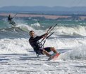





Thunderstorms, fronts, and squalls create both hazards and opportunities—here's how to read the sky and stay safe.
The surface of the water is a constantly updating forecast—here's how to interpret what you're seeing.
Riding with others accelerates your learning, keeps you safe, and makes every session more fun.
Learn how cloud formations and their movement can tell you more about the next few hours of wind than any app on your phone.
The daily seabreeze is the most dependable wind engine in coastal sailing, and understanding how it works helps you plan around it.